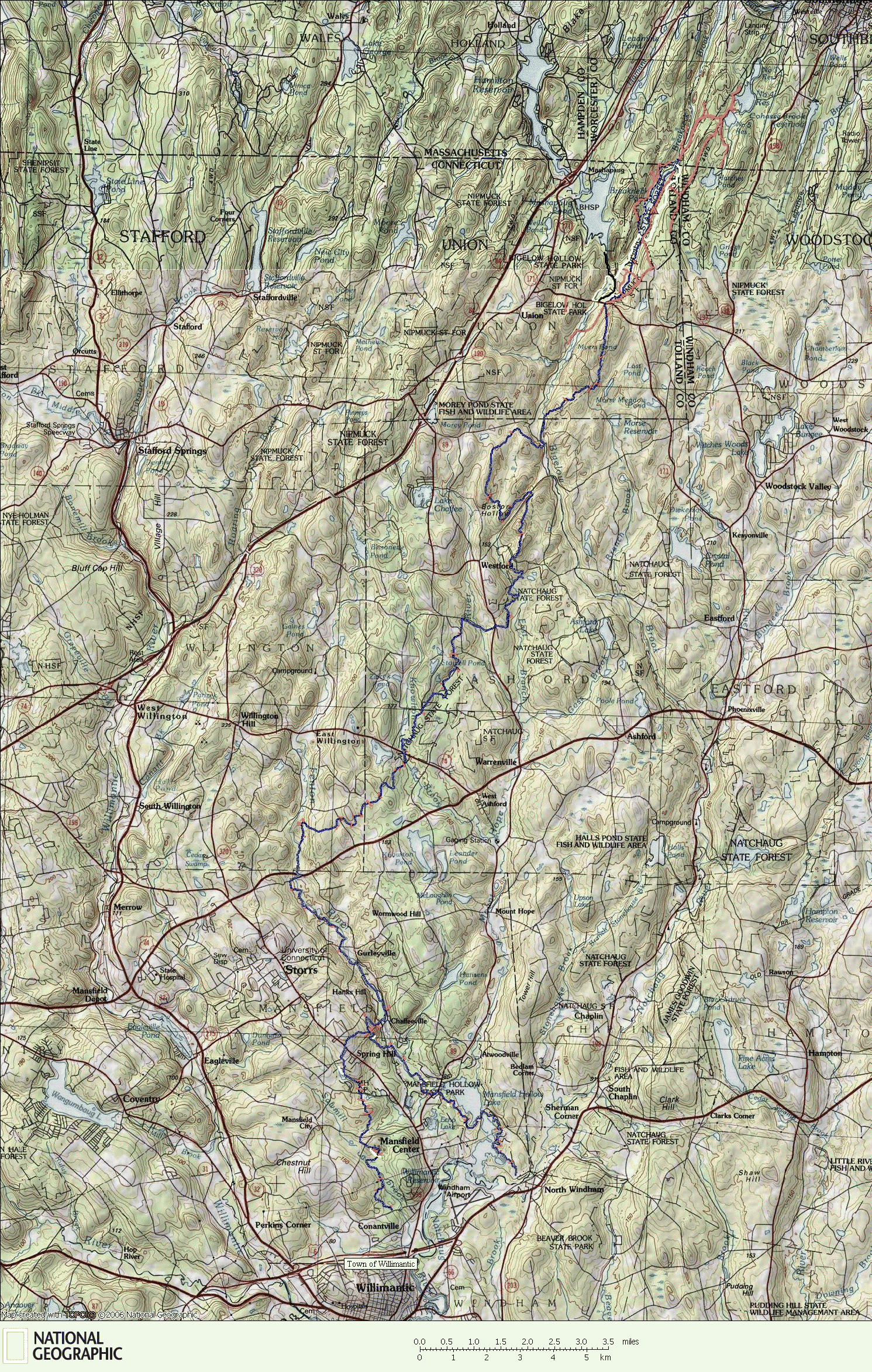

The Nipmuck Trail
The Nipmuck Trail is a gem of a hiking and backpacking route through the so called Quiet Corner of the state. It follows beautiful lakes, rivers and streams for nearly the entire length and fishing is very good. The length of the trail from it's southeast trailhead to the official terminus of the trail at the end of Breakneck Lake is 34.5 miles. Hiking the western trailhead as well will add another 5 miles. If the entire trail is hiked including both sections of the southern trailheads and the unmarked trails leading through southern Massachesetts, the entire length is 41.5 miles.
*Click on the map label of your choice for a full-zoom hiking trail map.
Map created with TOPO! copyright 2008 National Geographic
Map created by www.ctxguide.com copyright 2008
http://www.natgeomaps.com/topo
Horizontal 728X90
For a complete camping guide for backpacking the Nipmuck Trail, go to:

