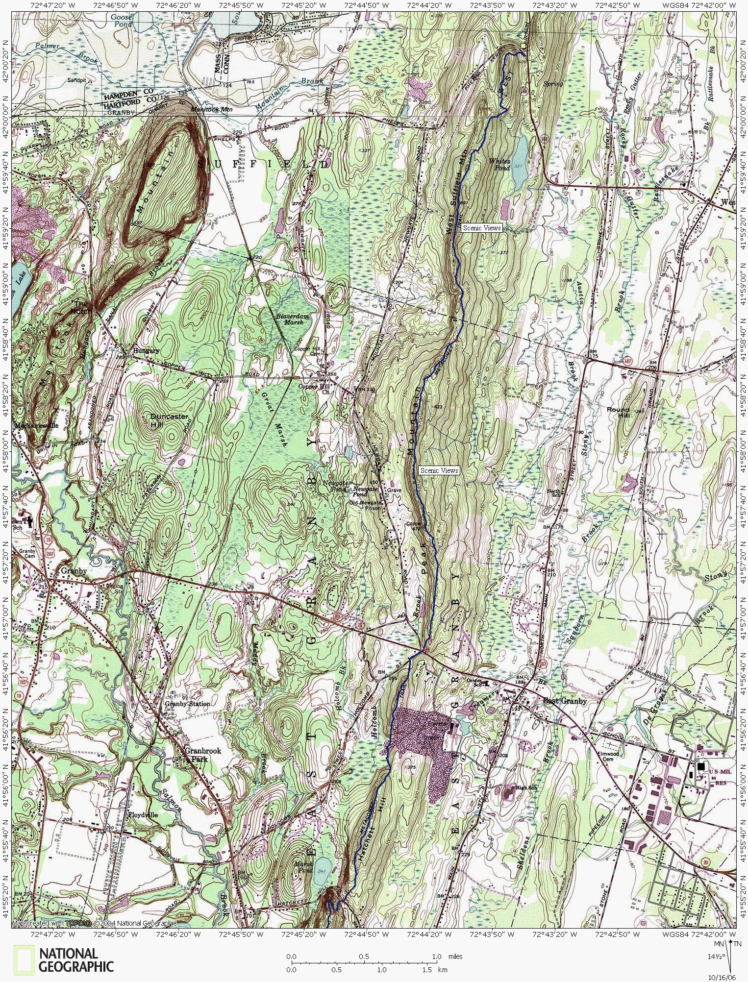
Metacomet Hiking Trail,
West Suffield Mountain Section
Even though the ridgetop trail has plenty of scenic views, the noise polution from the industrial quarry site can detract from the experience. There are also several construction projects just east of the ridge that can add frequent hammer strikes to the mechanized symphony and the occasional roar of a climbing airliner will only add to the annoyance.
The best times to hike along these ridgetops is either before or after work hours, but this does not give much time before sundown.
The wooded hiking through Connecticut along the Metacomet Trail ends at the corner of Phelps Street and RT 168.

Previous Map
www.nationalgeographic.com/topo
Map created with TOPO! copyright 2006 National Geographic
Trail data created by CTXGuide.com copyright 2006


