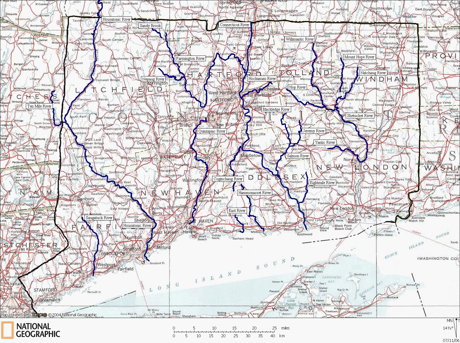
Connecticut Whitewater and Sea Kayaking, Canoeing, and Paddling Map
Select a set of detailed maps by clicking on the desired map label.
www.nationalgeographic.com/topo
Map created with TOPO! copyright 2006 National Geographic


Paddle sports can be dangerous and is always done at the risk of the paddler. Water conditions can change based on temperature, rainfall, tide, snow-melt, obstructions and submerged debris. Weather conditions, including lightning, can make paddlesport safety a very subjective concept. Always paddle to your ability and use well maintained devices and appropriate equipment.
The maps were created based on perfect conditions and information available at the time. Conditions may change creating unexpected dangers or unnavigatable waters. Please check with local paddling clubs, shops, or organizations to determine safety and runnable conditions.


Note: The sea kayaking routes are for awareness only and are not meant for navigation.
Notice:
For additional information, please see:
Connecticut Kayaking: Kayaking Ten Mile River, Kayaking the Housatonic River, Kayaking the Farmington River, Kayaking the Saugatuck River, Kayaking the Norwalk Islands, Kayaking Nell's Island, Kayaking the Thimble Islands, Kayaking East River, Kayaking the Coginchaug River, Kayaking the Quinnipiac River, Kayaking Great Island, Kayaking Fisher's Island, Kayaking Eightmile River, Kayaking the Yantic River, Kayaking the Jeremy River, Kayaking the Nepaug River, Kayaking Sandy Brook, Kayaking the Connecticut River, Kayaking the Blackledge River, Kayaking the Willimantic River, Kayaking the Hop River, Kayaking the Mount Hope River, Kayaking the Shetucket River, Kayaking the Hockanum River, whitewater kayaking, flatwater kayaking, quickwater kayaking, sea kayaking.

New!


